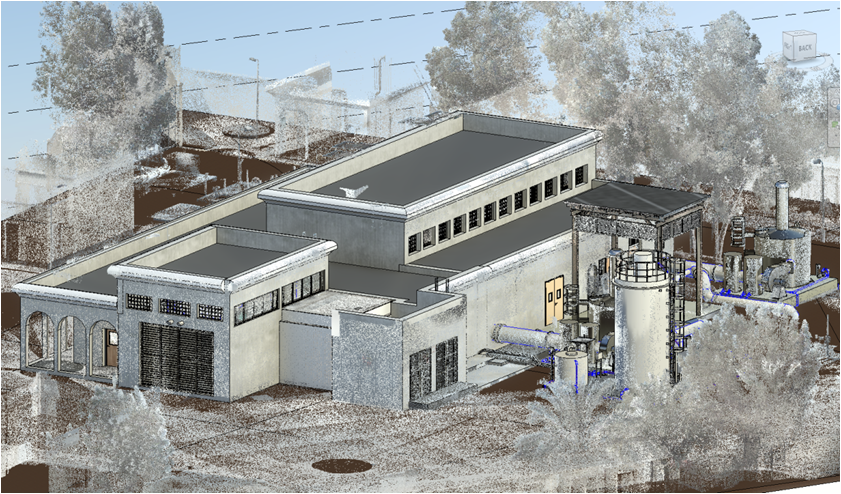
Innovative methods for better construction
Your Offshore Design and BIM Partner
Choose us as your offshore design and BIM partner and experience the benefits of professional support and cost-effective solutions.
Our team of highly trained professionals use the latest technology and methods to deliver accurate designs and models, so you can achieve your project goals with confidence.

Design Phase
Our BIM services enable virtual design validation and optimization prior to physical construction.

Construction Phase
We make easy collaboration, reduce rework & waste, and identify accurate cost estimates & scheduling using BIM.

Operation Phase
We facilitate efficient building management, operation and maintenance by creating a digital twin of the building.
280+
organizations
rely on Atlashine BIM Solutions for their BIM needs.
Our Services
Handling a wide range of BIM design projects in this time, we have attained
significant experience in this field which truly makes us industry leaders.


